PACA: Open-source tool for ancient fossil coordinate mapping
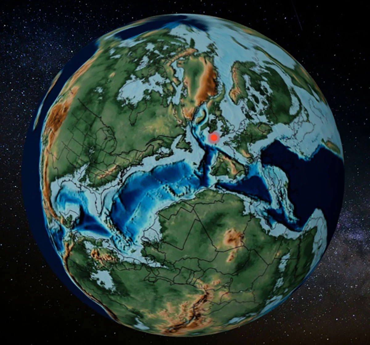
A new open-source tool for geospatial coordinate transformation useful for scientific data modeling.
30-Second TL;DR
What Changed
Developed by the BIOST3 research team at the University of Barcelona.
Why It Matters
This tool streamlines paleogeographic research by automating complex coordinate transformations, potentially accelerating discoveries in evolutionary biology and geology.
What To Do Next
Explore the PACA source code if you are building geospatial data visualization tools for scientific research.
Key Points
- •Developed by the BIOST3 research team at the University of Barcelona.
- •Enables conversion of current coordinates to ancient geological positions.
- •Open-source and accessible for researchers and educators.
Deep Insight
AI-generated analysis for this event — not the original article.
Enhanced Key Takeaways
- •PACA utilizes the GPlates Web Service (GWS) API to perform plate tectonic reconstructions, allowing for high-precision spatial transformations.
- •The tool specifically addresses the 'paleogeographic coordinate problem' by automating the complex mathematical rotations required to account for continental drift.
- •It supports multiple tectonic plate models, including widely used frameworks like Müller et al. (2016) and Matthews et al. (2016), providing flexibility for different geological time periods.
- •The interface is designed to handle large datasets, allowing researchers to upload CSV or Excel files for batch processing of fossil site coordinates.
- •PACA is hosted on the ShinyApps.io platform, leveraging R and the Shiny framework to provide an interactive, browser-based user experience without requiring local software installation.
Competitor Analysis
- PACA
- Web-based (No install)
- GPlates (Desktop)
- Desktop Application
- PaleoView
- Web-based
- PACA
- High (User-friendly)
- GPlates (Desktop)
- Low (Steep learning curve)
- PaleoView
- Medium
- PACA
- Yes
- GPlates (Desktop)
- Yes
- PaleoView
- Limited
- PACA
- Rapid coordinate mapping
- GPlates (Desktop)
- Complex tectonic modeling
- PaleoView
- Visualization/Education
- PACA
- Free (Open Source)
- GPlates (Desktop)
- Free (Open Source)
- PaleoView
- Free
| Feature | PACA | GPlates (Desktop) | PaleoView |
|---|---|---|---|
| Accessibility | Web-based (No install) | Desktop Application | Web-based |
| Ease of Use | High (User-friendly) | Low (Steep learning curve) | Medium |
| Batch Processing | Yes | Yes | Limited |
| Primary Use Case | Rapid coordinate mapping | Complex tectonic modeling | Visualization/Education |
| Pricing | Free (Open Source) | Free (Open Source) | Free |
Technical Deep Dive
- Architecture: Built using the R programming language with the Shiny web framework for the user interface.
- Backend Integration: Interfaces with the GPlates Web Service (GWS) API to fetch rotation parameters and plate motion models.
- Coordinate Transformation: Employs spherical geometry and rotation matrices to calculate the paleoposition of coordinates based on the user-selected geological age.
- Data Handling: Utilizes the tidyverse suite of packages for efficient data manipulation and cleaning of input fossil coordinate datasets.
- Output Formats: Supports exporting processed data in standard formats including CSV and GeoJSON for integration with GIS software like QGIS or ArcGIS.
Future ImplicationsAI analysis grounded in cited sources
Timeline
- 2024-05Initial development and prototype testing by the BIOST3 research team.
- 2025-02Beta release of the PACA web interface for internal academic peer review.
- 2026-06Official public launch of the PACA tool and publication of accompanying documentation.
Weekly AI Recap
Read this week's curated digest of top AI events →
Related Updates


AI-curated news aggregator. All content rights belong to original publishers.
Original source: cnBeta (Full RSS) ↗
This is a summary, not the original. Read the source, or get the weekly briefing.
The weekly digest
One email a week. Unsubscribe anytime.