
AI maps China's wind and solar power
Researchers from Peking University and Alibaba DAMO Academy used AI to conduct the first comprehensive survey of wind and solar power in China. The study was published in the journal 'Nature'.
Tag: #geospatial7 results
Researchers from Peking University and Alibaba DAMO Academy used AI to conduct the first comprehensive survey of wind and solar power in China. The study was published in the journal 'Nature'.
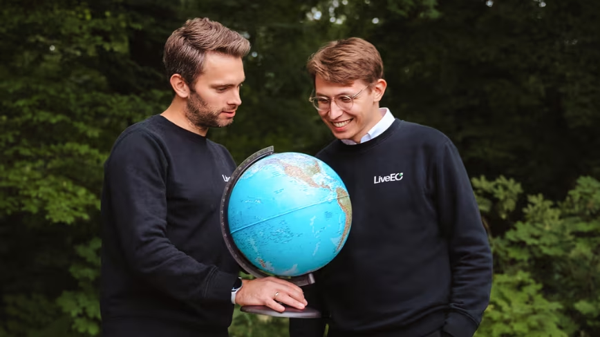
Berlin-based geospatial-AI firm LiveEO has raised €28m in the first tranche of a new funding round. Investors include defence VC Helantic, Nordic Ninja, MMC, and EIC. Funds will enhance the existing civil-infrastructure satellite stack for European defence buyers.

This post demonstrates Windward's use of generative AI with geospatial intelligence to enhance maritime alert investigations. It shifts analysts from data collection to decision-making via agentic workflows.

Researchers are addressing the challenge of monitoring lake water volume by integrating satellite remote sensing with 3D depth data. This advancement improves the accuracy of large-scale surface water resource assessment.
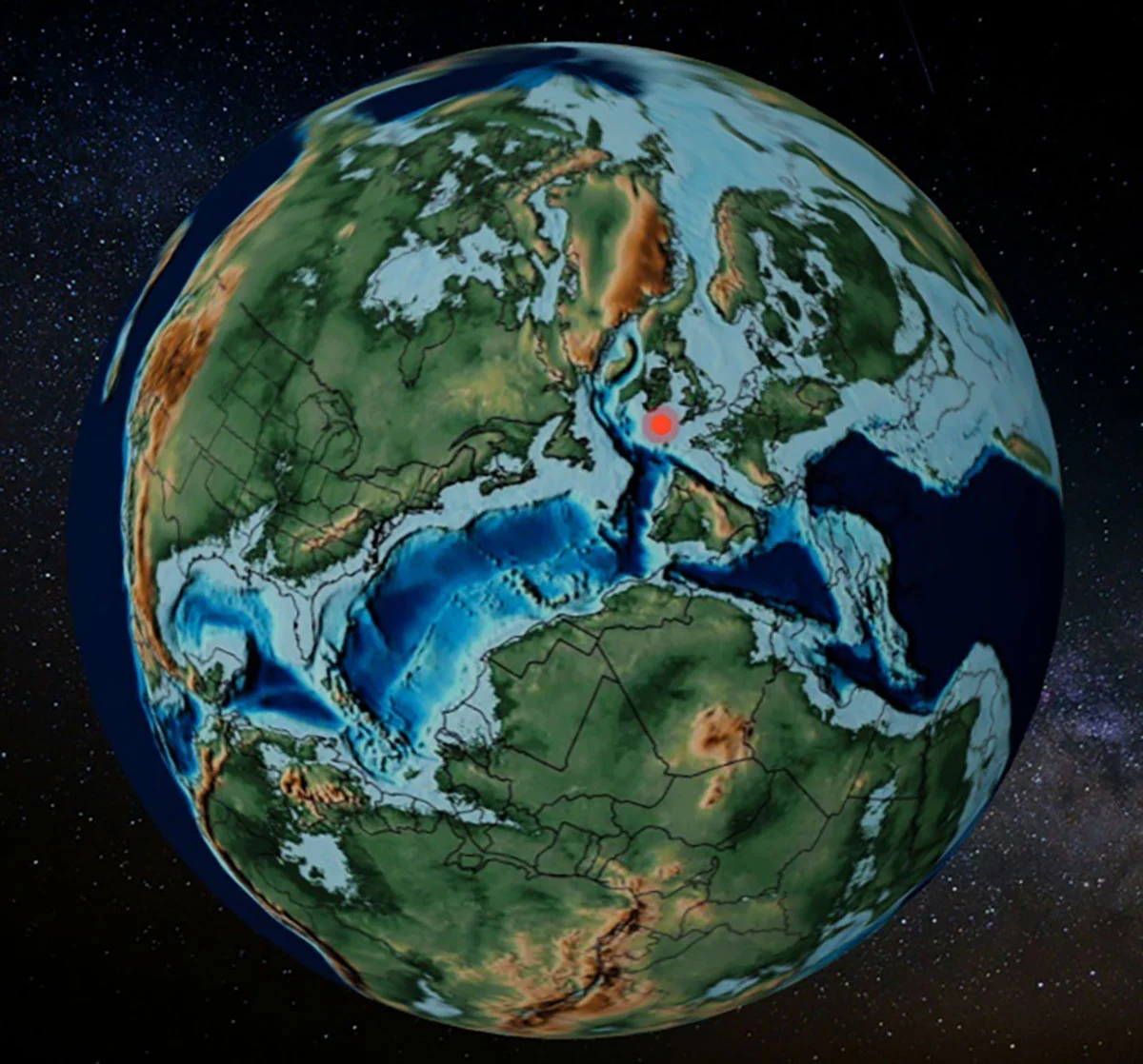
Researchers from the University of Barcelona have released PACA, a free web tool that converts modern geographic coordinates into ancient plate tectonic positions. This tool facilitates the study of fossil distribution across geological time scales.

Google has moved its long-standing desktop flight simulator feature to the web, allowing users to access it directly via a browser. This update removes the need for local app installations, making the tool more accessible to a wider audience.
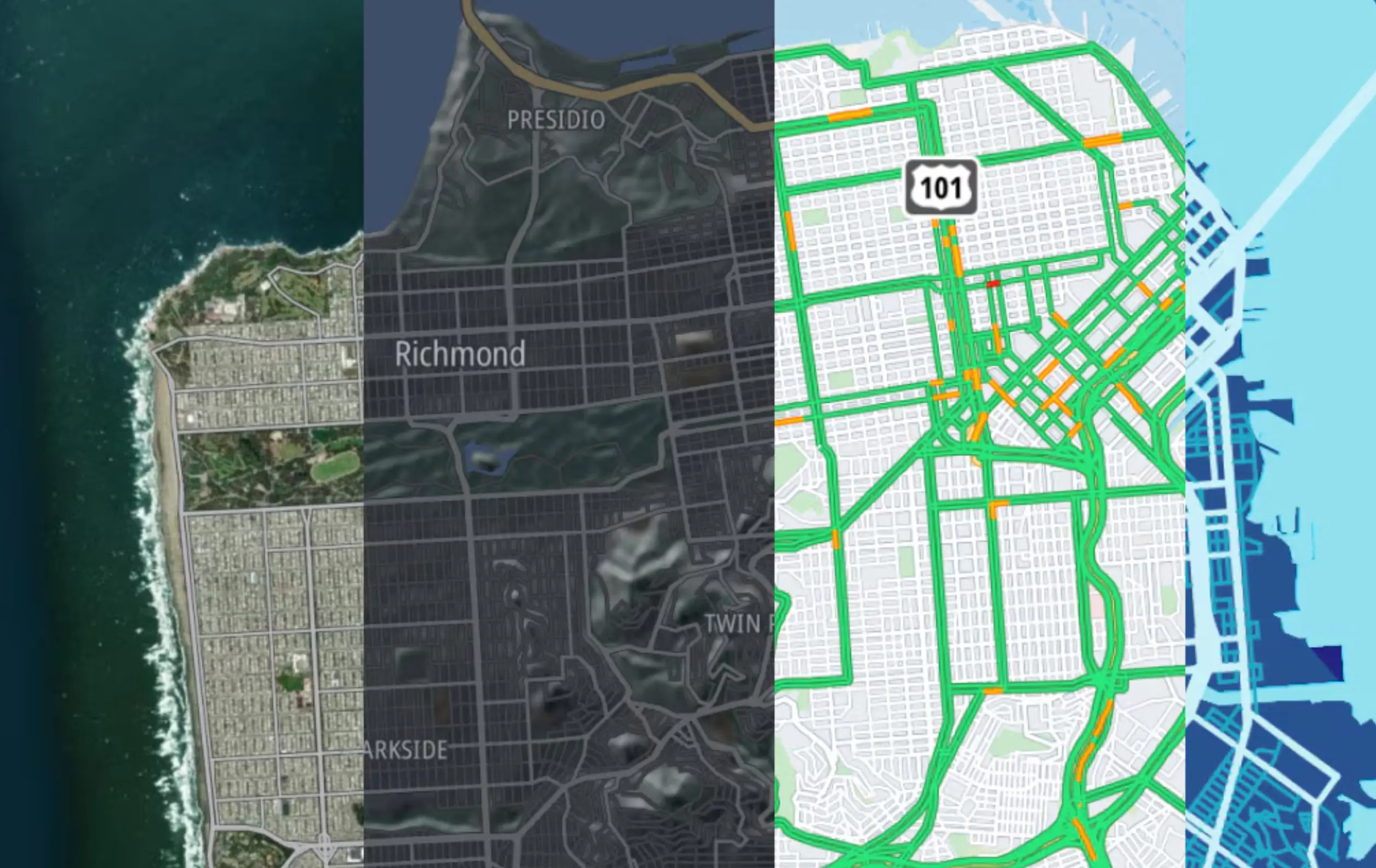
Microsoft completed its largest recent address data upgrade for Bing Maps, deploying TomTom Orbis Maps dataset globally over nine months. Started in June 2025, the upgrade is now fully live across Bing Maps and related positioning services.