FCC Targets Previously Approved LiDAR Drones
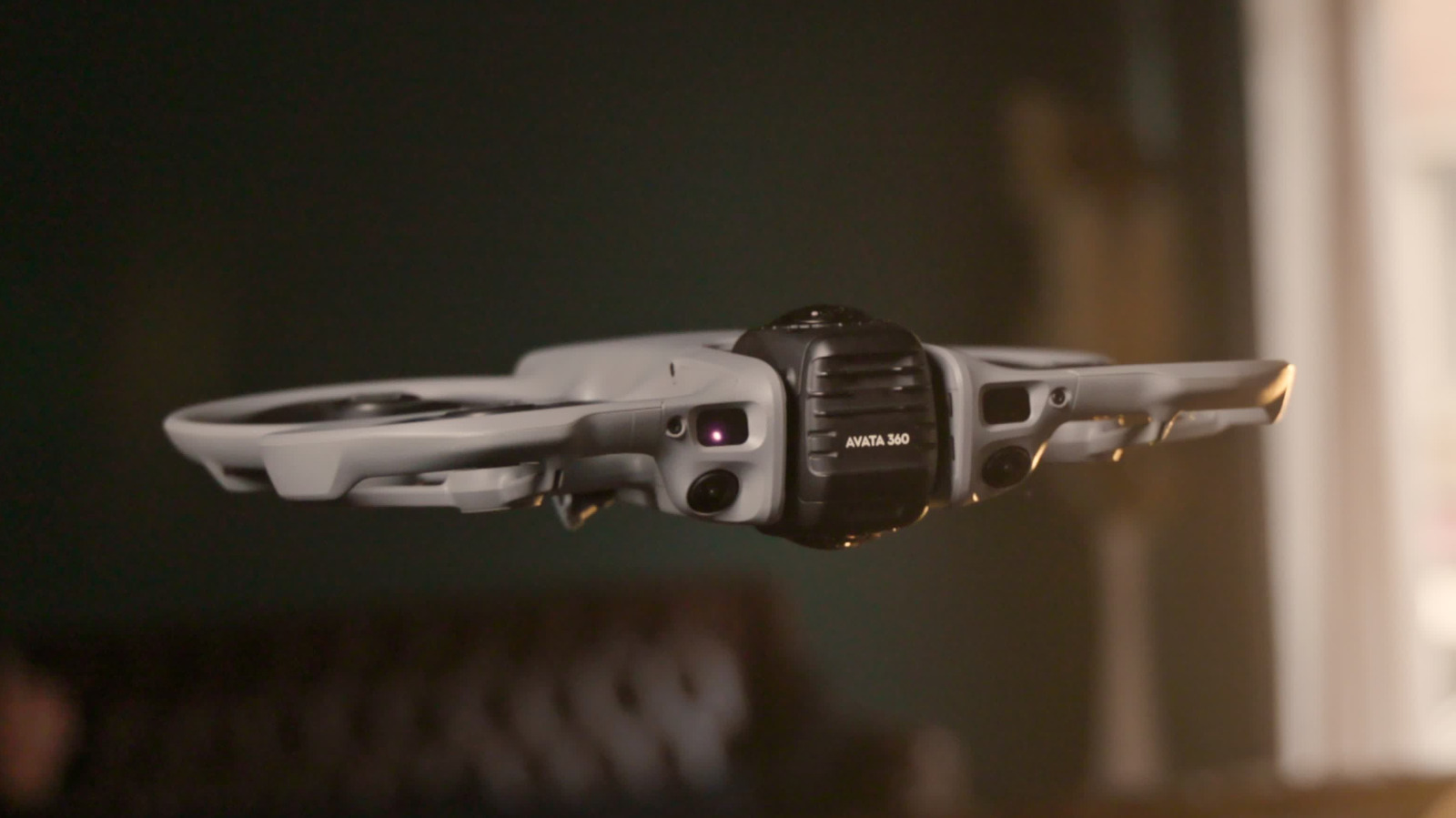
A proposed FCC ban could disrupt drone-based mapping, inspection, and computer-vision deployments.
30-Second TL;DR
What Changed
The FCC is proposing restrictions on DJI drones equipped with LiDAR.
Why It Matters
A ban could disrupt robotics, mapping, inspection, and computer-vision projects that rely on DJI’s LiDAR-equipped platforms. Developers may need to delay purchases or evaluate alternative drone and sensing hardware until the proposal’s outcome is clearer.
What To Do Next
If your team is evaluating DJI LiDAR drones, pause purchase commitments and track the FCC proceeding while preparing an alternative sensor-and-drone bill of materials.
Key Points
- •The FCC is proposing restrictions on DJI drones equipped with LiDAR.
- •The proposal could affect drone models that the FCC previously approved.
- •Organizations considering LiDAR drone purchases should reassess procurement and deployment plans.
Deep Insight
AI-generated analysis for this event — not the original article.
Enhanced Key Takeaways
- •The FCC's scrutiny is reportedly driven by national security concerns regarding the potential for LiDAR sensors to map critical infrastructure with high precision, which could be exploited for foreign intelligence gathering.
- •This regulatory shift aligns with broader U.S. government efforts to restrict Chinese-manufactured drone technology, following similar actions by the Department of Commerce and the Department of Defense.
- •The proposal specifically targets the integration of LiDAR payloads, suggesting that the FCC may be moving toward a policy of 'component-level' regulation rather than just certifying entire drone platforms.
- •Industry experts note that this move could create a 'regulatory retroactive' precedent, where equipment previously granted an FCC ID could have its authorization revoked, creating significant liability for current operators.
- •DJI has publicly contested the characterization of its LiDAR data as a national security threat, arguing that its systems operate within standard commercial parameters and do not transmit sensitive data to foreign servers.
Competitor Analysis
- DJI (LiDAR Drones)
- Commercial/Enterprise
- Autel Robotics (EVO Series)
- Commercial/Prosumer
- Skydio (X10/X2)
- Defense/Enterprise
- Parrot (Anafi USA)
- Defense/Enterprise
- DJI (LiDAR Drones)
- High (Zenmuse L-series)
- Autel Robotics (EVO Series)
- Limited/Third-party
- Skydio (X10/X2)
- Integrated/Modular
- Parrot (Anafi USA)
- Minimal
- DJI (LiDAR Drones)
- Under FCC Scrutiny
- Autel Robotics (EVO Series)
- Generally Compliant
- Skydio (X10/X2)
- NDAA Compliant
- Parrot (Anafi USA)
- NDAA Compliant
- DJI (LiDAR Drones)
- Cloud-based/Local
- Autel Robotics (EVO Series)
- Local/Cloud
- Skydio (X10/X2)
- Local/Air-gapped
- Parrot (Anafi USA)
- Local/Air-gapped
| Feature | DJI (LiDAR Drones) | Autel Robotics (EVO Series) | Skydio (X10/X2) | Parrot (Anafi USA) |
|---|---|---|---|---|
| Primary Market | Commercial/Enterprise | Commercial/Prosumer | Defense/Enterprise | Defense/Enterprise |
| LiDAR Integration | High (Zenmuse L-series) | Limited/Third-party | Integrated/Modular | Minimal |
| Regulatory Status | Under FCC Scrutiny | Generally Compliant | NDAA Compliant | NDAA Compliant |
| Data Security | Cloud-based/Local | Local/Cloud | Local/Air-gapped | Local/Air-gapped |
Technical Deep Dive
- LiDAR sensors on DJI platforms typically utilize 905nm laser diodes for time-of-flight distance measurement.
- Data acquisition involves high-frequency point cloud generation, often exceeding 200,000 points per second, integrated with IMU data for georeferencing.
- The FCC's concern centers on the 'precision mapping' capability, which allows for sub-centimeter accuracy in 3D modeling of structures.
- Communication protocols between the LiDAR payload and the drone flight controller often utilize proprietary DJI SkyPort or O3/O4 transmission links, which the FCC is investigating for potential backdoors.
Future ImplicationsAI analysis grounded in cited sources
Timeline
- 2020-12DJI added to the U.S. Department of Commerce Entity List.
- 2022-10Department of Defense identifies DJI as a 'Chinese military company' operating in the U.S.
- 2024-05U.S. lawmakers introduce the Countering CCP Drones Act to restrict DJI operations.
- 2026-02FCC initiates formal review of LiDAR-equipped drone hardware certifications.
Weekly AI Recap
Read this week's curated digest of top AI events →
Related Updates

AI-curated news aggregator. All content rights belong to original publishers.
Original source: Engadget ↗
This is a summary, not the original. Read the source, or get the weekly briefing.
The weekly digest
One email a week. Unsubscribe anytime.