AI-powered drone successfully locates lost hikers in Australia
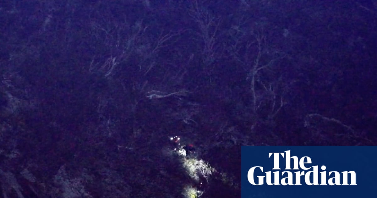
See how edge AI and thermal imaging are transforming real-world search and rescue operations.
30-Second TL;DR
What Changed
AI drone utilized thermal imaging to identify human heat signatures in rugged terrain.
Why It Matters
This deployment demonstrates the efficacy of edge-based AI in critical search and rescue operations, potentially setting a new standard for emergency response protocols.
What To Do Next
Explore integrating thermal sensor data with object detection models like YOLOv8 to build custom search-and-rescue computer vision pipelines.
Key Points
- •AI drone utilized thermal imaging to identify human heat signatures in rugged terrain.
- •Search time was reduced to five hours for hikers located 0.5km off the main track.
- •First successful deployment of the FRNSW AI detection system for live search and rescue.
Deep Insight
AI-generated analysis for this event — not the original article.
Enhanced Key Takeaways
- •The FRNSW (Fire and Rescue New South Wales) AI system integrates with the Remotely Piloted Aircraft Systems (RPAS) unit, which has been undergoing specialized training for search and rescue operations since 2023.
- •The AI model utilizes edge computing capabilities, allowing the drone to process thermal data in real-time without requiring a constant high-bandwidth connection to a central server.
- •This specific mission utilized a custom-trained computer vision algorithm designed to filter out 'false positives' such as native Australian wildlife (kangaroos and wombats) that often trigger thermal alerts.
- •The deployment was part of a broader 'Smart Rescue' initiative funded by the New South Wales government to modernize emergency response in the state's vast, inaccessible wilderness areas.
- •The drone's flight path was autonomously optimized by the AI based on terrain elevation data and wind speed, significantly extending battery life compared to manual piloting.
Competitor Analysis
- FRNSW AI (Australia)
- Public Safety/Gov
- DJI Rescue Solutions
- Commercial/Consumer
- AeroVironment Quantix
- Defense/Industrial
- FRNSW AI (Australia)
- Custom Gov-Proprietary
- DJI Rescue Solutions
- Third-party/SDK
- AeroVironment Quantix
- Integrated Analytics
- FRNSW AI (Australia)
- High (Wildlife Filter)
- DJI Rescue Solutions
- Standard
- AeroVironment Quantix
- High (Military Grade)
- FRNSW AI (Australia)
- Taxpayer Funded
- DJI Rescue Solutions
- Hardware Purchase
- AeroVironment Quantix
- Subscription/Contract
| Feature | FRNSW AI (Australia) | DJI Rescue Solutions | AeroVironment Quantix |
|---|---|---|---|
| Primary Focus | Public Safety/Gov | Commercial/Consumer | Defense/Industrial |
| AI Integration | Custom Gov-Proprietary | Third-party/SDK | Integrated Analytics |
| Thermal Precision | High (Wildlife Filter) | Standard | High (Military Grade) |
| Cost Model | Taxpayer Funded | Hardware Purchase | Subscription/Contract |
Technical Deep Dive
- Model Architecture: Employs a Convolutional Neural Network (CNN) optimized for thermal signature detection, specifically tuned for human body heat profiles in varying ambient temperatures.
- Edge Processing: Uses onboard NVIDIA Jetson-class hardware to perform object detection and classification locally on the drone.
- Sensor Fusion: Combines long-wave infrared (LWIR) thermal sensors with high-resolution optical cameras to verify heat signatures against visual terrain features.
- Data Link: Utilizes encrypted mesh networking to transmit coordinate data back to the command center even in low-connectivity environments.
Future ImplicationsAI analysis grounded in cited sources
Timeline
- 2023-05FRNSW establishes the dedicated RPAS (Remotely Piloted Aircraft Systems) unit for emergency response.
- 2024-09Initial testing phase of the AI thermal detection software begins in controlled environments.
- 2025-11FRNSW receives government funding to integrate AI-driven search capabilities into the existing drone fleet.
- 2026-06First successful real-world operational deployment in Kosciuszko National Park.
Event Coverage
Weekly AI Recap
Read this week's curated digest of top AI events →
AI-curated news aggregator. All content rights belong to original publishers.
Original source: The Guardian Technology ↗
This is a summary, not the original. Read the source, or get the weekly briefing.
The weekly digest
One email a week. Unsubscribe anytime.