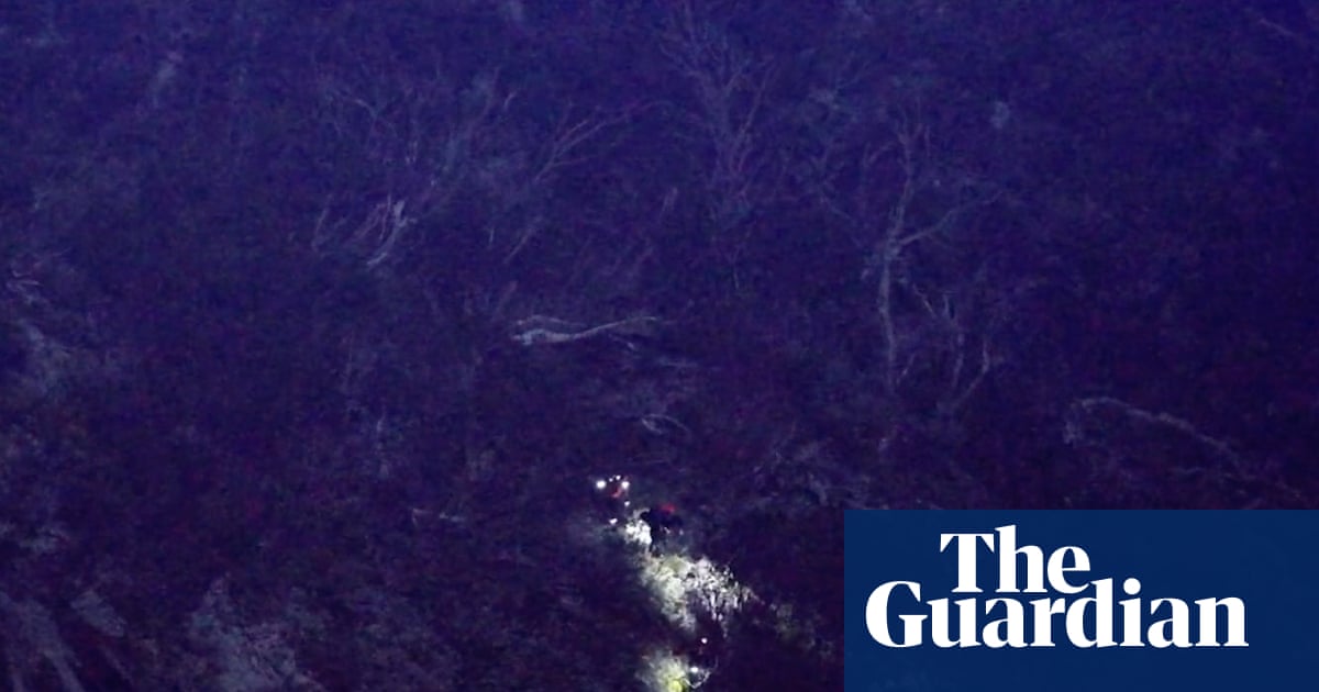
AI-powered drone rescues lost hikers in Kosciuszko National Park
💡Real-world proof of AI-driven computer vision saving lives in critical search and rescue missions.
⚡ 30-Second TL;DR
What Changed
AI-powered drone utilized thermal imaging to locate missing persons in rugged terrain.
Why It Matters
This successful deployment demonstrates the high-stakes utility of edge AI and computer vision in search and rescue operations. It highlights a growing trend of integrating autonomous systems into public safety infrastructure.
What To Do Next
Explore integrating thermal imaging datasets with YOLO or similar object detection models to build custom search-and-rescue vision pipelines.
🧠 Deep Insight
AI-generated analysis for this event.
🔑 Enhanced Key Takeaways
- •The operation utilized the 'RescueAI' computer vision software, which was integrated into the drone's existing thermal sensor array to filter out false positives like animal heat signatures.
- •Fire and Rescue NSW collaborated with the University of Technology Sydney (UTS) to train the AI model on datasets specific to the Australian alpine environment.
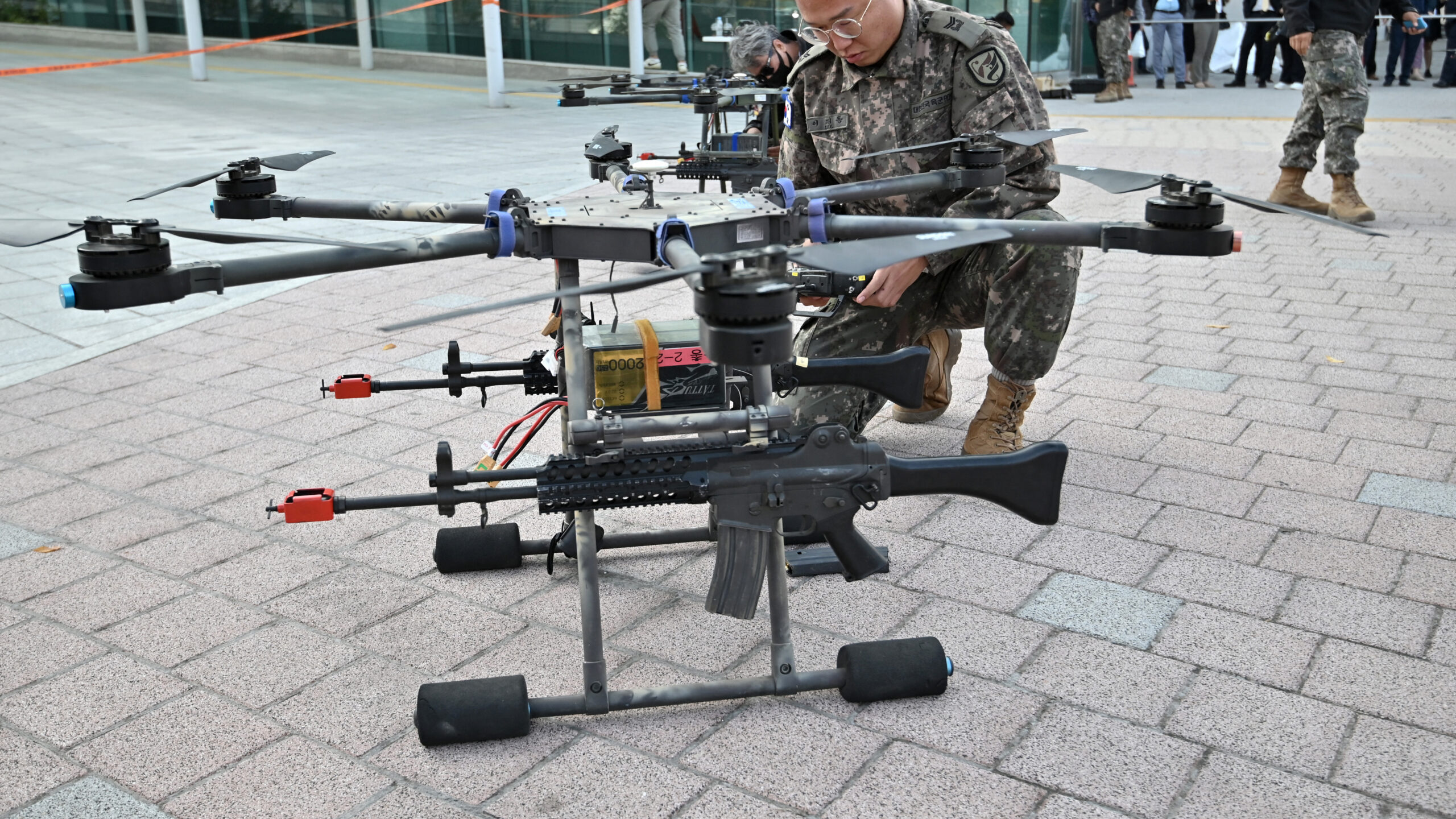
- •The drone used in the mission was a modified heavy-lift hexacopter capable of maintaining flight stability in wind speeds exceeding 50 km/h, common in the Kosciuszko region.
- •This deployment was part of a broader 18-month pilot program aimed at reducing search-and-rescue response times in remote areas by up to 40%.
- •The AI system successfully identified the hikers by detecting a specific heat pattern consistent with human body temperature despite dense canopy cover.
📊 Competitor Analysis▸ Show
| Feature | FRNSW (RescueAI) | DJI Enterprise (Search & Rescue) | AeroVironment (Tactical) |
|---|---|---|---|
| Primary Focus | Alpine/Bushland Search | General Industrial/Public Safety | Military/Defense |
| AI Integration | Custom Academic Partnership | Proprietary (DJI FlightHub) | Proprietary (Computer Vision) |
| Thermal Precision | High (Human-specific training) | Medium (General thermal) | High (Target tracking) |
| Deployment Model | Government/Academic Pilot | Commercial Off-the-Shelf | Government Contract |
🛠️ Technical Deep Dive
- Sensor Suite: Dual-sensor payload featuring a 640x512 radiometric thermal camera and a 4K visual camera with 30x optical zoom.
- Model Architecture: Convolutional Neural Network (CNN) optimized for edge computing on the drone's onboard processor to minimize latency.
- Data Processing: Real-time object detection pipeline that transmits coordinate metadata to the ground control station via encrypted 5G/satellite link.
- Environmental Adaptation: Algorithms specifically tuned to ignore 'thermal noise' from sun-heated rocks and native wildlife common in the Snowy Mountains.
🔮 Future ImplicationsAI analysis grounded in cited sources
⏳ Timeline
Weekly AI Recap
Read this week's curated digest of top AI events →
👉Related Updates


AI-curated news aggregator. All content rights belong to original publishers.
Original source: The Guardian Technology ↗