Search

Tag: #remote-sensing15 results

Hybrid AI Clears Clouds for Satellite Imagery

Hybrid AI Clears Clouds for Satellite Imagery

SenseNet, a new hybrid AI system, removes clouds and haze from satellite images using a coyote-fox optimization algorithm. It outperforms prior methods by boosting signal-to-noise ratio over 2 dB, enabling clearer earth observation. This advances monitoring of climate, crops, and urban development in cloudy regions.

IT之家MediaFeb 24#remote-sensing#denoising
Jilin-1 Launches 8 Sats, HD Images First Orbit

Jilin-1 Launches 8 Sats, HD Images First Orbit

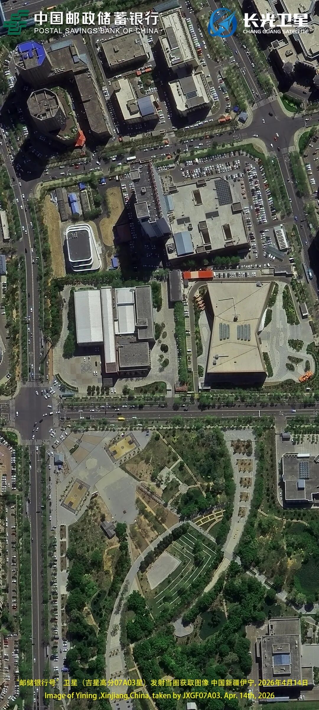
Jilin-1 added eight high-res optical remote sensing satellites on April 14: Jixing GaoFen 07A02-04, 07B02-04, 07C02-03. In-orbit total now 152, world's largest sub-meter commercial constellation. Aims for 300 satellites by 2027 with all-weather coverage; HD images returned first orbit.

cnBeta (Full RSS)MediaApr 15#remote-sensing#earth-imagery
RSHallu: Hallucination Eval for RS MLLMs

RSHallu: Hallucination Eval for RS MLLMs

RSHallu studies hallucinations in remote-sensing MLLMs with a new taxonomy, benchmark, and dual-mode checker. Provides datasets for mitigation via training and plug-and-play strategies. Improves hallucination-free rates by up to 21% on RS tasks.

ArXiv AIResearchFeb 12#research#rshallu#v1
Page 2 of 2