USDA Tests AI and Satellites for Better Crop Estimates
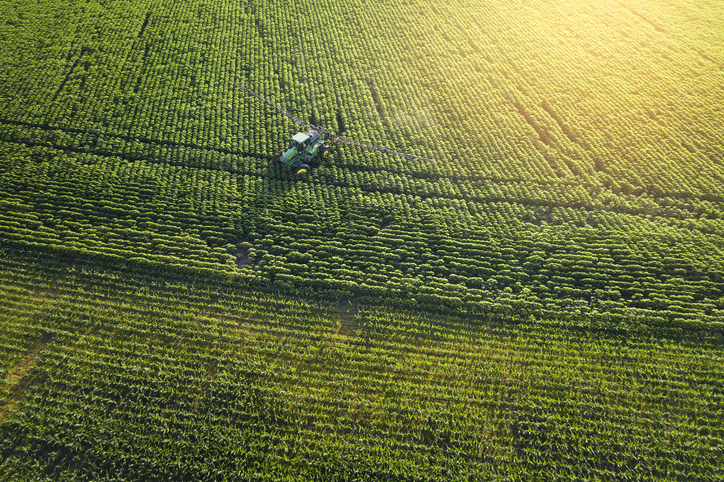
💡See how USDA plans to combine satellite data and AI to fix crop-estimate reliability.
⚡ 30-Second TL;DR
What Changed
USDA will evaluate satellite data for crop estimation.
Why It Matters
More accurate crop estimates could improve agricultural planning, commodity forecasting, and government policy decisions. For AI practitioners, the project highlights the value of combining remote sensing with machine-learning models in public-sector applications.
What To Do Next
Prototype a crop-monitoring pipeline that combines public satellite imagery with a baseline regression model, then compare its estimates against USDA reports.
Key Points
- •USDA will evaluate satellite data for crop estimation.
- •AI will be tested as part of the estimation process.
- •The initiative responds to concerns about unreliable agricultural data.
Weekly AI Recap
Read this week's curated digest of top AI events →
👉Related Updates
AI-curated news aggregator. All content rights belong to original publishers.
Original source: iTNews Australia ↗
This is a summary, not the original. Read the source, or get the weekly briefing.
Weekly AI briefing
One email a week. Unsubscribe anytime.