GM Super Cruise Hits 1B Mile Milestone
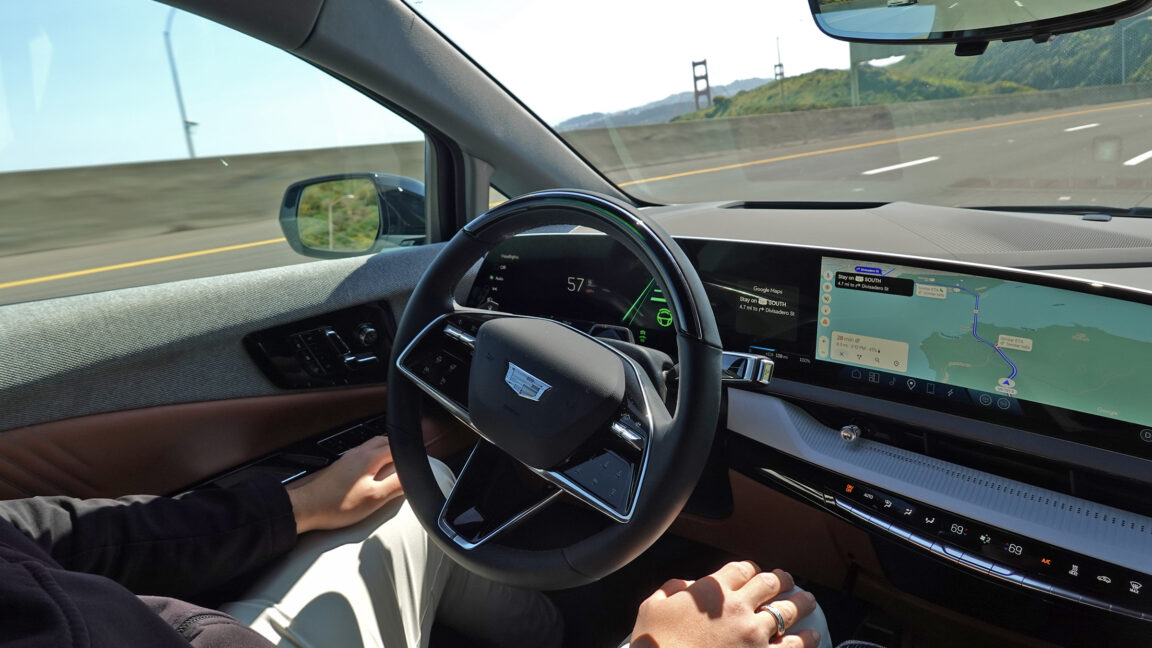
💡1B miles proves AI ADAS reliability at scale for autonomous tech builders.
⚡ 30-Second TL;DR
What Changed
Accumulated 1 billion miles driven
Why It Matters
Highlights rapid scaling of AI-powered ADAS in real-world use, boosting confidence in automotive AI deployment and potential for expansion.
What To Do Next
Benchmark your CV models against Super Cruise's driver monitoring for agent safety features.
Key Points
- •Accumulated 1 billion miles driven
- •Milestone in under 10 years
- •Hands-free on geofenced highways only
- •Eyes-on driver monitoring required
🧠 Deep Insight
AI-generated analysis for this event — not the original article.
🔑 Enhanced Key Takeaways
- •The system utilizes LiDAR-based high-definition map data, which is updated periodically to reflect changes in highway infrastructure, ensuring the vehicle maintains precise lane positioning.
- •GM has expanded Super Cruise availability to over 750,000 miles of compatible roads across the United States and Canada, significantly increasing the operational design domain since its initial launch.
- •The driver monitoring system employs an infrared camera mounted on the steering column to track head position and eye gaze, ensuring the driver remains attentive even when hands are off the wheel.
📊 Competitor Analysis▸ Show
| Feature | GM Super Cruise | Tesla Full Self-Driving (FSD) | Ford BlueCruise |
|---|---|---|---|
| Operational Domain | Geofenced Highways | Any road (Beta) | Geofenced Highways |
| Driver Monitoring | Infrared Eye Tracking | Camera-based + Steering Torque | Infrared Eye Tracking |
| Mapping Requirement | High-Definition Maps | Vision-based (No HD Maps) | High-Definition Maps |
| Hands-Free Status | Yes | No (Requires hands on wheel) | Yes |
🛠️ Technical Deep Dive
- •Architecture relies on a sensor fusion suite including front-facing cameras, long-range radar, and ultrasonic sensors.
- •Integrates with GM’s Vehicle Intelligence Platform (VIP) electrical architecture to enable over-the-air (OTA) updates for map data and system logic.
- •Utilizes precise GPS localization combined with HD map data to achieve sub-meter accuracy, allowing the vehicle to navigate curves and lane changes within the geofenced network.
- •The system is designed to initiate a 'controlled stop' or safe pull-over maneuver if the driver fails to respond to repeated alerts regarding attention or system disengagement.
🔮 Future ImplicationsAI analysis grounded in cited sources
⏳ Timeline
Weekly AI Recap
Read this week's curated digest of top AI events →
👉Related Updates
AI-curated news aggregator. All content rights belong to original publishers.
Original source: Ars Technica ↗
This is a summary, not the original. Read the source, or get the weekly briefing.
The weekly digest
One email a week. Unsubscribe anytime.