Finland’s ICEYE hits €10bn valuation amid defense boom
💡High-res satellite data is becoming a critical input for AI-driven defense and environmental intelligence.
⚡ 30-Second TL;DR
What Changed
Raised €450mn in Series F funding
Why It Matters
The rapid valuation reflects a massive shift in European capital toward defense-tech, likely increasing the availability of high-resolution satellite data for AI-driven geospatial analysis.
What To Do Next
Explore ICEYE's API documentation to integrate real-time SAR satellite imagery into your geospatial AI models for improved environmental monitoring.
Key Points
- •Raised €450mn in Series F funding
- •Valuation surged from €2.4bn to €10bn in six months
- •Key player in European defense-tech and satellite surveillance
🧠 Deep Insight
Background and context from public sources — not the original article. 19 sources cited.
🔑 Enhanced Key Takeaways
- •The Series F funding round, led by General Atlantic, comprised a primary raise of €450 million and a secondary placement, bringing the total capital raised in this round to over €1 billion.
- •New investors in this round include Nokia (as a strategic investor), Qatar Investment Authority (QIA), and TCV, alongside Finnish state funds Solidium, Tesi, Varma, and Ilmarinen.
- •ICEYE reported revenues exceeding €250 million and EBITDA over €100 million in 2025, supported by a contracted order backlog surpassing €1.5 billion.
- •Seven European governments have already procured sovereign satellite systems from ICEYE, underscoring its critical role in national security and resilience capabilities.
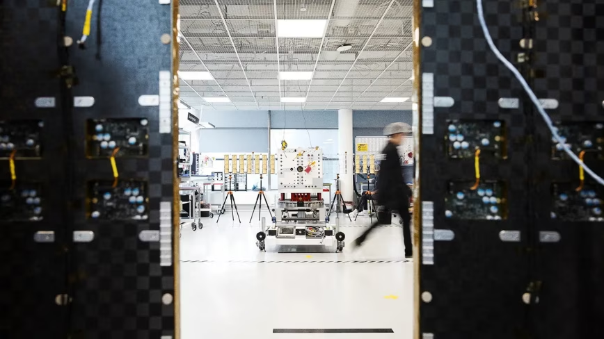
- •ICEYE aims to significantly increase its satellite production capacity from 50 satellites per year to 100 by 2028 to meet growing demand.
🛠️ Technical Deep Dive
- ICEYE's satellites utilize X-band Synthetic Aperture Radar (SAR) technology, enabling imaging through clouds, smoke, ash, fog, and total darkness.
- The company pioneered miniaturized SAR satellites, with each spacecraft weighing less than 100 kg, a significant reduction from traditional 1,000 kg SAR satellites.
- Satellites are equipped with active phased array antennas and electronic beam steering, allowing for fast, precise pointing and the ability to image both to the left and right sides of the satellite track.
- ICEYE offers high-resolution imagery, achieving resolutions as fine as 25 cm in Dwell Precise mode, and can cover vast areas up to 120,000 km².
- The constellation is designed for persistent monitoring, employing a coherent daily ground track repeat (CD-GTR) orbit to image the same location daily from the exact same orbital position.
- Data delivery from image acquisition typically takes 12 hours, with urgent requests capable of being fulfilled in just a few hours.
🔮 Future ImplicationsAI analysis grounded in cited sources
⏳ Timeline
📎 Sources (19)
Factual claims are grounded in the sources below. Forward-looking analysis is AI-generated interpretation.
Weekly AI Recap
Read this week's curated digest of top AI events →
👉Related Updates


AI-curated news aggregator. All content rights belong to original publishers.
Original source: The Next Web (TNW) ↗
This is a summary, not the original. Read the source, or get the weekly briefing.
The weekly digest
One email a week. Unsubscribe anytime.