FCC Targets Foreign LiDAR Drones
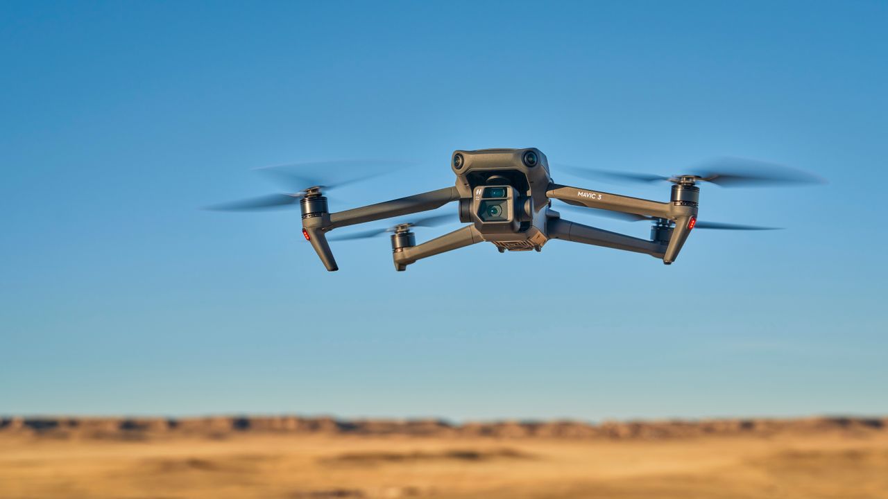
A proposed FCC ban could reshape the drone, LiDAR, and aerial-vision hardware available to U.S. AI teams.
30-Second TL;DR
What Changed
The FCC proposal would apply retroactively to certain previously approved foreign-made drones.
Why It Matters
A sales ban could disrupt robotics, mapping, inspection, and computer-vision projects that depend on imported drone platforms or LiDAR sensors. It may also increase procurement uncertainty and hardware costs for U.S. AI developers working with aerial data.
What To Do Next
Audit your drone AI stack now and identify U.S.-approved alternatives for DJI, LiDAR, and thermal-imaging hardware before procurement rules change.
Key Points
- •The FCC proposal would apply retroactively to certain previously approved foreign-made drones.
- •LiDAR and other features are being classified as military-grade technology.
- •Several popular DJI models could potentially be removed from U.S. stores.
- •Thermal drones and drone swarms for light shows may also be affected.
Deep Insight
AI-generated analysis for this event — not the original article.
Enhanced Key Takeaways
- •The FCC's regulatory push aligns with broader bipartisan legislative efforts, such as the Countering CCP Drones Act, which seeks to add DJI to the FCC's Covered List.
- •Beyond LiDAR, the FCC is scrutinizing drones with high-resolution thermal imaging and advanced mapping capabilities due to concerns regarding data exfiltration and critical infrastructure surveillance.
- •The proposal leverages the Secure and Trusted Communications Networks Act, which grants the FCC authority to revoke equipment authorizations if they pose an unacceptable risk to national security.
- •Industry groups have warned that a retroactive ban could disrupt supply chains for U.S. public safety agencies and agricultural sectors that rely heavily on existing DJI hardware.
- •The FCC is coordinating with the Department of Commerce and the Department of Defense to define the specific technical thresholds that classify a drone's sensor suite as 'military-grade'.
Competitor Analysis
- DJI (Targeted)
- Consumer/Enterprise
- Skydio (U.S. Alternative)
- Enterprise/Defense
- Autel Robotics (Foreign)
- Consumer/Enterprise
- DJI (Targeted)
- High (Enterprise models)
- Skydio (U.S. Alternative)
- High (Autonomy focus)
- Autel Robotics (Foreign)
- Moderate
- DJI (Targeted)
- China
- Skydio (U.S. Alternative)
- USA
- Autel Robotics (Foreign)
- China
- DJI (Targeted)
- High Scrutiny
- Skydio (U.S. Alternative)
- Compliant (NDAA)
- Autel Robotics (Foreign)
- High Scrutiny
| Feature | DJI (Targeted) | Skydio (U.S. Alternative) | Autel Robotics (Foreign) |
|---|---|---|---|
| Primary Market | Consumer/Enterprise | Enterprise/Defense | Consumer/Enterprise |
| LiDAR Integration | High (Enterprise models) | High (Autonomy focus) | Moderate |
| Manufacturing | China | USA | China |
| Regulatory Status | High Scrutiny | Compliant (NDAA) | High Scrutiny |
Technical Deep Dive
- LiDAR implementation in drones typically involves Time-of-Flight (ToF) sensors or laser scanning modules that generate high-density 3D point clouds for photogrammetry.
- Thermal imaging sensors on these drones often utilize uncooled microbolometers capable of detecting temperature differentials for search and rescue or industrial inspection.
- Coordinated swarm technology relies on Real-Time Kinematic (RTK) positioning and low-latency mesh networking protocols to maintain formation without centralized GPS reliance.
- Data transmission protocols in targeted drones often utilize proprietary OcuSync or similar frequency-hopping spread spectrum (FHSS) technologies to maintain encrypted links.
Future ImplicationsAI analysis grounded in cited sources
Timeline
- 2020-12Department of Commerce adds DJI to the Entity List, restricting access to U.S. technology.
- 2022-10Department of Defense identifies DJI as a Chinese military company, further restricting federal procurement.
- 2024-09U.S. House of Representatives passes the Countering CCP Drones Act to restrict new DJI models.
- 2026-05FCC initiates formal inquiry into the retroactive revocation of equipment authorizations for foreign-made drones.
Weekly AI Recap
Read this week's curated digest of top AI events →
AI-curated news aggregator. All content rights belong to original publishers.
Original source: Tom's Hardware ↗
This is a summary, not the original. Read the source, or get the weekly briefing.
The weekly digest
One email a week. Unsubscribe anytime.