🌍The Next Web (TNW)•Stalecollected in 34m
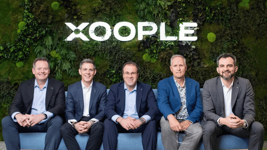
Xoople Raises $130M for AI Earth Data Infra
💡$130M unicorn funding for AI geospatial infra vital for Earth observation models
⚡ 30-Second TL;DR
What Changed
$130M Series B led by Nazca Capital
Why It Matters
This unicorn funding boosts geospatial data availability for AI, enabling advanced Earth observation apps in climate, agriculture, and urban planning. AI practitioners gain access to high-quality data pipelines critical for training location-aware models.
What To Do Next
Check Xoople's platform for geospatial datasets to enhance your Earth AI models.
Who should care:Researchers & Academics
Key Points
- •$130M Series B led by Nazca Capital
- •Total funding reaches $225M with unicorn valuation
- •Geospatial data infra for AI Earth understanding
- •Founded 2019 in Madrid, Spain
- •Co-led by Spanish gov's CDTI fund
🧠 Deep Insight
AI-generated analysis for this event.
🔑 Enhanced Key Takeaways
- •Xoople's proprietary 'Geo-Neural Mesh' architecture enables real-time processing of multi-modal satellite imagery, moving beyond traditional static map data to dynamic, predictive environmental modeling.
- •The company has secured strategic partnerships with the European Space Agency (ESA) to integrate Copernicus program data streams directly into their infrastructure, significantly reducing latency for AI training sets.
- •The Series B capital is explicitly earmarked for the expansion of a new 'Earth-Digital Twin' data center in Northern Spain, designed to leverage renewable energy for high-compute AI workloads.
📊 Competitor Analysis▸ Show
| Feature | Xoople | Planet Labs | Maxar Intelligence |
|---|---|---|---|
| Core Focus | AI-Ready Geospatial Infra | Satellite Constellation | Satellite & Analytics |
| Data Processing | Real-time Neural Mesh | High-frequency Imaging | High-res Imagery |
| Pricing Model | Usage-based API | Subscription/Data-as-a-Service | Project-based/Enterprise |
| Primary Edge | Predictive AI Modeling | Global Coverage | Sensor Diversity |
🛠️ Technical Deep Dive
- Architecture: Utilizes a proprietary 'Geo-Neural Mesh' that converts raw raster satellite data into vector-based semantic embeddings.
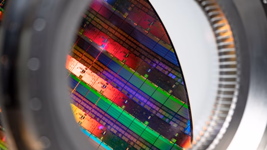
- Data Ingestion: Supports multi-modal inputs including SAR (Synthetic Aperture Radar), multispectral, and hyperspectral imagery.
- Compute: Employs a distributed edge-to-cloud pipeline that performs initial feature extraction on-orbit or at ground stations to minimize data transfer overhead.
- Integration: Provides API-first access for training Large Earth Models (LEMs) with native support for PyTorch and TensorFlow frameworks.
🔮 Future ImplicationsAI analysis grounded in cited sources
Xoople will likely pursue an IPO or acquisition by a major cloud provider by 2028.
The capital-intensive nature of building proprietary geospatial data centers typically necessitates a liquidity event to provide returns for Series B investors like Nazca Capital.
The company will become a primary data provider for global climate risk assessment platforms.
By integrating ESA Copernicus data into a real-time AI-ready format, Xoople positions itself as the essential middleware for financial and insurance sectors modeling climate change impact.
⏳ Timeline
2019-05
Xoople founded in Madrid, Spain, focusing on geospatial data processing.
2021-09
Secured Seed funding round to develop initial Geo-Neural Mesh prototype.
2023-03
Announced strategic partnership with the European Space Agency (ESA) for data integration.
2024-06
Closed Series A funding round to scale infrastructure and engineering teams.
2026-04
Raised $130M Series B, achieving unicorn status with $225M total funding.
📰
Weekly AI Recap
Read this week's curated digest of top AI events →
👉Related Updates


AI-curated news aggregator. All content rights belong to original publishers.
Original source: The Next Web (TNW) ↗