Weather Drones Fill AI Forecasting’s Data Gap
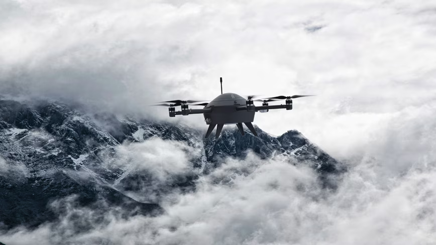
💡AI weather models need better observations, and drones may be the missing sensor layer.
⚡ 30-Second TL;DR
What Changed
Drones are being used as airborne sensors to address shortages in weather observations.
Why It Matters
The development highlights that data collection, not only model architecture, is a major bottleneck in applied AI forecasting. Organizations using weather models may gain an advantage by investing in proprietary, high-frequency observations.
What To Do Next
Prototype a data pipeline that ingests drone-based atmospheric observations and measures their effect on your weather model’s forecast accuracy.
Key Points
- •Drones are being used as airborne sensors to address shortages in weather observations.
- •AI forecasting quality depends heavily on the quantity and quality of incoming atmospheric data.
- •Improved weather data could benefit both military operations and weather-sensitive trading strategies.
🧠 Deep Insight
AI-generated analysis for this event.
🔑 Enhanced Key Takeaways
- •Unmanned Aerial Systems (UAS) are specifically targeting the 'planetary boundary layer'—the lowest part of the atmosphere—where traditional satellite sensors often struggle to capture high-resolution vertical profiles.
- •The integration of edge computing on weather drones allows for real-time data assimilation, enabling AI models to adjust forecasting parameters mid-flight rather than relying on post-processed batch data.
- •Regulatory frameworks, such as the FAA's Beyond Visual Line of Sight (BVLOS) waivers, have been a primary historical bottleneck that recent drone-weather startups are now overcoming to scale operations.
- •Beyond military and trading, the insurance industry is increasingly funding these drone networks to improve 'parametric insurance' products, which trigger automatic payouts based on precise, localized weather events.
- •New sensor miniaturization techniques now allow drones to carry thermodynamic sensors that measure humidity, pressure, and temperature with accuracy comparable to traditional weather balloons (radiosondes) at a fraction of the cost.
📊 Competitor Analysis▸ Show
| Feature | Drone-Based Weather Networks | Traditional Weather Balloons | Satellite Remote Sensing |
|---|---|---|---|
| Spatial Resolution | Ultra-High (Localized) | Low (Sparse) | High (Global) |
| Temporal Frequency | On-Demand/Continuous | Twice Daily | Fixed Orbit |
| Cost per Observation | Low (Reusable) | High (Expendable) | Very High (Launch) |
| Vertical Coverage | Boundary Layer Focus | Full Atmospheric Column | Top-Down Only |
🛠️ Technical Deep Dive
- Sensor Payload: Integration of micro-electromechanical systems (MEMS) for barometric pressure, capacitive humidity sensors, and thermistors with rapid response times.
- Data Assimilation: Utilization of 4D-Var (four-dimensional variational) data assimilation techniques to ingest drone telemetry directly into Numerical Weather Prediction (NWP) models.
- Communication Architecture: Use of satellite-linked (SATCOM) or 5G/6G backhaul for real-time transmission of atmospheric profiles to cloud-based AI inference engines.
- Flight Dynamics: Implementation of autonomous 'adaptive sampling' algorithms that direct drones to fly through high-gradient areas (e.g., storm fronts) to maximize data entropy.
🔮 Future ImplicationsAI analysis grounded in cited sources
⏳ Timeline
Weekly AI Recap
Read this week's curated digest of top AI events →
👉Related Updates




AI-curated news aggregator. All content rights belong to original publishers.
Original source: The Next Web (TNW) ↗