🇬🇧BBC Technology•Stalecollected in 16m
Can AI Make Streets Safer?
💡AI tackling real-world infrastructure safety—key for embodied AI apps.
⚡ 30-Second TL;DR
What Changed
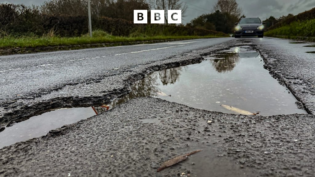
Crumbling roads pose significant safety risks
Why It Matters
This highlights AI's role in civic tech, potentially driving demand for computer vision tools in infrastructure.
What To Do Next
Explore Roboflow Universe datasets for road damage detection models.
Who should care:Developers & AI Engineers
Key Points
- •Crumbling roads pose significant safety risks
- •Other urban hazards threaten public safety
- •AI proposed as solution for safer streets
🧠 Deep Insight
AI-generated analysis for this event.
🔑 Enhanced Key Takeaways
- •AI-driven pavement management systems (PMS) now utilize computer vision mounted on municipal vehicles to automatically detect and categorize distress types like alligator cracking, rutting, and potholes in real-time.
- •Predictive maintenance models are shifting urban infrastructure management from reactive repairs to proactive scheduling by analyzing historical degradation patterns alongside traffic volume and weather data.
- •Integration of IoT sensors with AI platforms allows for the monitoring of structural integrity in bridges and street lighting, enabling automated alerts for maintenance crews before visible hazards emerge.
🛠️ Technical Deep Dive
- Computer Vision Architecture: Utilization of Convolutional Neural Networks (CNNs) such as YOLO (You Only Look Once) or Mask R-CNN for real-time object detection and semantic segmentation of road surface defects.
- Data Acquisition: High-resolution imagery captured via LiDAR and 360-degree cameras mounted on municipal fleets, processed through edge computing devices to minimize latency.
- Predictive Modeling: Implementation of Long Short-Term Memory (LSTM) networks to forecast pavement deterioration rates based on time-series data including traffic load, temperature fluctuations, and precipitation levels.
- Cloud Integration: Centralized GIS (Geographic Information System) dashboards that map identified hazards, allowing for automated work-order generation and prioritization based on severity scores.
🔮 Future ImplicationsAI analysis grounded in cited sources
Municipalities will reduce road maintenance costs by at least 20% by 2028.
Transitioning from reactive, complaint-based repairs to data-driven, proactive maintenance cycles significantly extends pavement lifespan and reduces emergency repair premiums.
AI-monitored infrastructure will become a standard requirement for insurance compliance in major urban centers.
As AI provides verifiable data on road safety and maintenance, insurers will likely mandate these systems to mitigate liability risks associated with infrastructure-related accidents.
⏳ Timeline
2021-03
Early pilot programs for AI-based pothole detection launched in major US cities like Boston and Los Angeles.
2023-09
Standardization of computer vision datasets for road distress classification begins to improve model accuracy across diverse geographic regions.
2025-02
Integration of digital twin technology with AI road monitoring platforms allows for city-wide simulation of infrastructure stress.
📰
Weekly AI Recap
Read this week's curated digest of top AI events →
👉Related Updates
AI-curated news aggregator. All content rights belong to original publishers.
Original source: BBC Technology ↗