來源The Guardian Technology•較早收集於 55m
Pokémon Go 數據被用於訓練軍用無人機 AI
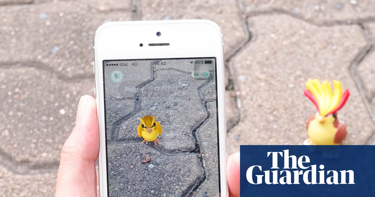
💡了解消費級 AR 遊戲數據如何被轉用於軍用無人機導航與電腦視覺訓練。
⚡ 30 秒速覽
有什麼變化
Pokémon Go 的位置掃描數據提供了高品質的真實空間資訊
為什麼重要
這凸顯了消費級 AR 數據的軍民兩用性質,並引發了關於用戶生成的空間數據如何被轉用於國防應用之重大倫理問題。
下一步行動
審查您的數據收集政策,以了解您的空間數據集是否可能被轉用於非預期的軍事或監控應用。
誰應關注:Researchers & Academics
關鍵要點
- •Pokémon Go 的位置掃描數據提供了高品質的真實空間資訊
- •AI 模型正被調整應用於軍用無人機導航
- •該數據集源自全球超過 8 億次的遊戲下載量
🧠 深度解析
背景與延伸:來自公開資料,非原文內容。引用 17 個來源。
🔑 增強重點摘要
- •The data utilized for training AI models was collected through an opt-in feature introduced in Pokémon Go in 2021, where players voluntarily scanned real-world locations in exchange for in-game rewards.
- •Niantic, the original developer of Pokémon Go, divested its gaming division, including Pokémon Go, to Scopely for $3.5 billion in 2025, but retained its geospatial AI division, which subsequently spun off as Niantic Spatial.
- •Niantic Spatial formally partnered with Vantor, a company specializing in spatial detection software for drones, including those used by the military, in December 2025.
- •This collaboration aims to develop a satellite-independent navigation system for drones, addressing critical vulnerabilities in modern military operations such as GPS unavailability, spoofing, interference, and jamming.
- •Niantic Spatial's Visual Positioning System (VPS), which underpins this technology, was trained using an estimated 30 billion images crowdsourced from Pokémon Go players, enabling precise localization in environments where GPS signals are compromised.
📊 競品分析▸ Show
| Feature/Category | Niantic Spatial (with Vantor) | Palantir (VNav) | SKY ENGINE AI (Synthetic Data) |
|---|---|---|---|
| Core Offering | Visual Positioning System (VPS) for GPS-denied navigation, 3D spatial intelligence. | Visual Navigation (VNav) for autonomous drone missions in GPS-compromised areas. | Synthetic data generation for training UAV & drone vision AI. |
| Data Source | Crowdsourced real-world scans (e.g., Pokémon Go players), aerial drones, custom mapping devices. | Onboard camera data compared against onboard satellite imagery. | Photorealistic synthetic data with ground-truth labels and sensor-level realism. |
| Primary Benefit | Resilient, precise navigation and coordination in Denied, Disrupted, Intermittent, and Limited (DDIL) environments. | Accurate navigation without long-range drift, independent of GPS or radio control signals. | Cost-effective, scalable, and diverse datasets for robust AI training, overcoming real-world data collection limitations. |
| Target Market | Defense and Intelligence, Robotics, AR. | Defense, Industry. | Agriculture, Defense, Security, Transportation. |
| Deployment | Lightweight, rapidly deployable AI systems from cloud to tactical edge. | Onboard compute on deployed drones. | Cloud-based Synthetic Data Cloud for dataset generation. |
🛠️ 技術深入
- Core Technology: Niantic Spatial's platform is powered by a Large Geospatial Model (LGM) and a Visual Positioning System (VPS).
- VPS Functionality: The VPS aligns live camera imagery with a persistent map to provide real-time, full six degrees of freedom (6DoF) position and orientation.
- Architecture: It employs a flexible deep learning-based architecture, complemented by real-time computer vision and on-device sensor fusion.
- Environmental Resilience: The system is specifically designed to enable precise localization in Denied, Disrupted, Intermittent, and Limited (DDIL) environments, where GPS is unreliable or unavailable.
- 3D Reconstruction Pipeline: Niantic Spatial's pipeline converts imagery from various sources, including off-the-shelf drones, smartphones, 360° cameras, and ISR/UAS platforms, into georeferenced, geometrically accurate 3D models.
- Data Compression: The company utilizes an open-source Gaussian Splat compression format (SPZ) to significantly reduce output file sizes by up to 90%, optimizing for bandwidth-constrained operational environments.
- Training Data Scale: The VPS was trained using approximately 30 billion images crowdsourced from Pokémon Go players, which contributed to building a detailed 3D visual map of the world.
🔮 前景展望基於引用來源的 AI 分析
There will be increased scrutiny and ethical debates regarding the repurposing of civilian crowdsourced data for military and defense applications.
The revelation that data from a popular consumer game is being used for military AI is likely to intensify public and regulatory discussions about data privacy, consent, and the dual-use nature of technology.
The development of GPS-independent navigation systems for autonomous military platforms will accelerate significantly.
The partnership directly addresses a critical vulnerability in modern warfare by providing resilient navigation in GPS-denied environments, indicating a strong strategic imperative for such technologies.
Companies specializing in geospatial AI and visual positioning systems will increasingly target defense and intelligence sectors.
The demonstrated utility of Niantic Spatial's technology for military applications, including its 'award-ready' status with the Army Applications Laboratory, highlights a growing market for commercial geospatial AI in defense.
⏳ 時間線
2010
Niantic Labs originated as an internal startup at Google.
2015-09
Niantic Labs spun out from Google with initial funding from Google, The Pokémon Company, and Nintendo.
2016-07
Pokémon Go launched globally, becoming a massive augmented reality success.
2021
Pokémon Go introduced an opt-in feature allowing players to scan real-world locations for in-game rewards, collecting significant spatial data.
2025-05-29
Niantic sold its mobile games division to Scopely for $3.5 billion, and its geospatial AI division spun off as Niantic Spatial.
2025-12
Niantic Spatial partnered with Vantor to develop a unified visual positioning system for air and ground platforms in GPS-denied environments.
📎 來源 (17)
Factual claims are grounded in the sources below. Forward-looking analysis is AI-generated interpretation.
📰
AI 週報
閱讀本週精選 AI 大事摘要 →
👉相關動態

AI 策展新聞聚合。所有內容版權歸原始發布者所有。
原始來源: The Guardian Technology ↗
每週電子報
每週一封,可隨時退訂。